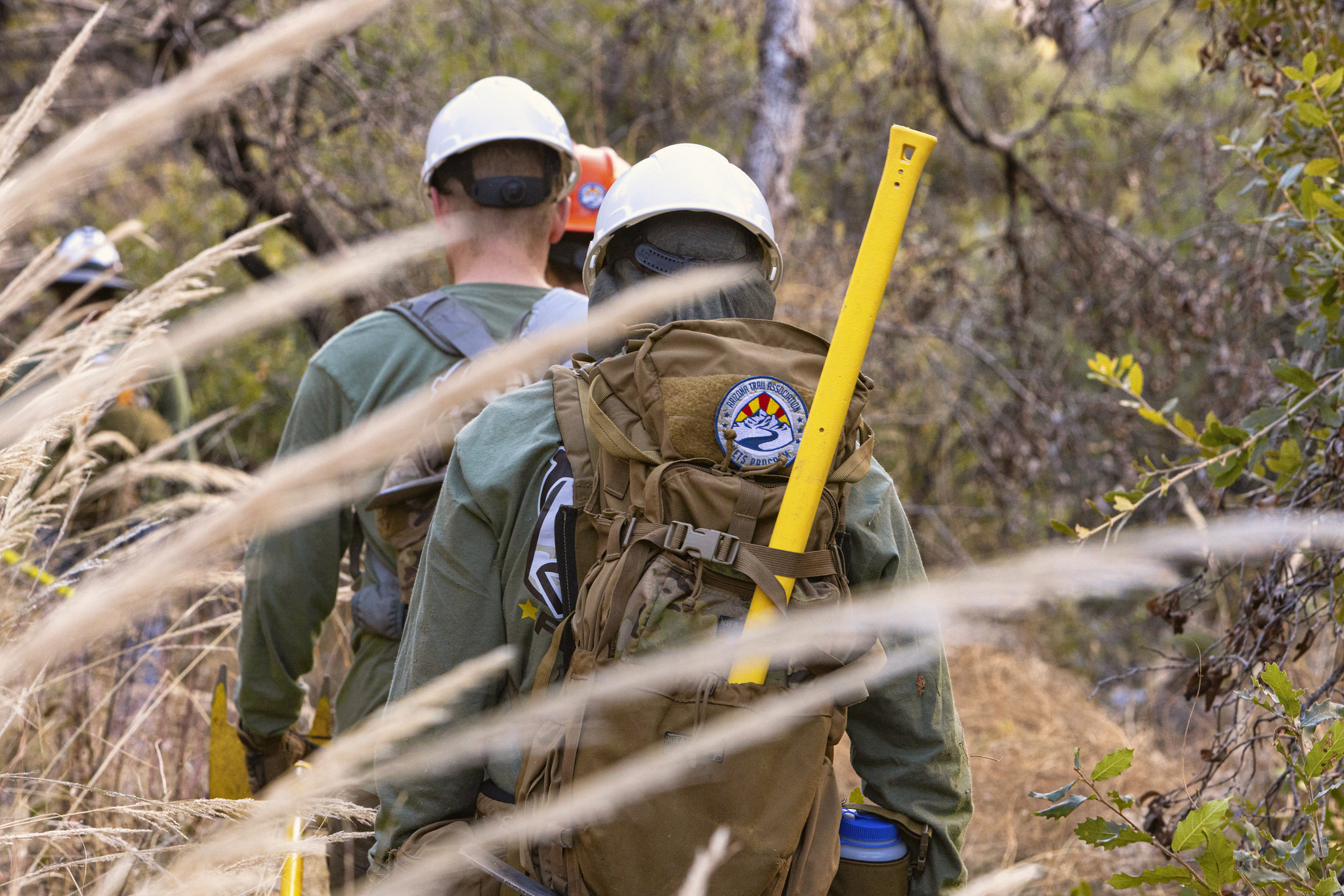
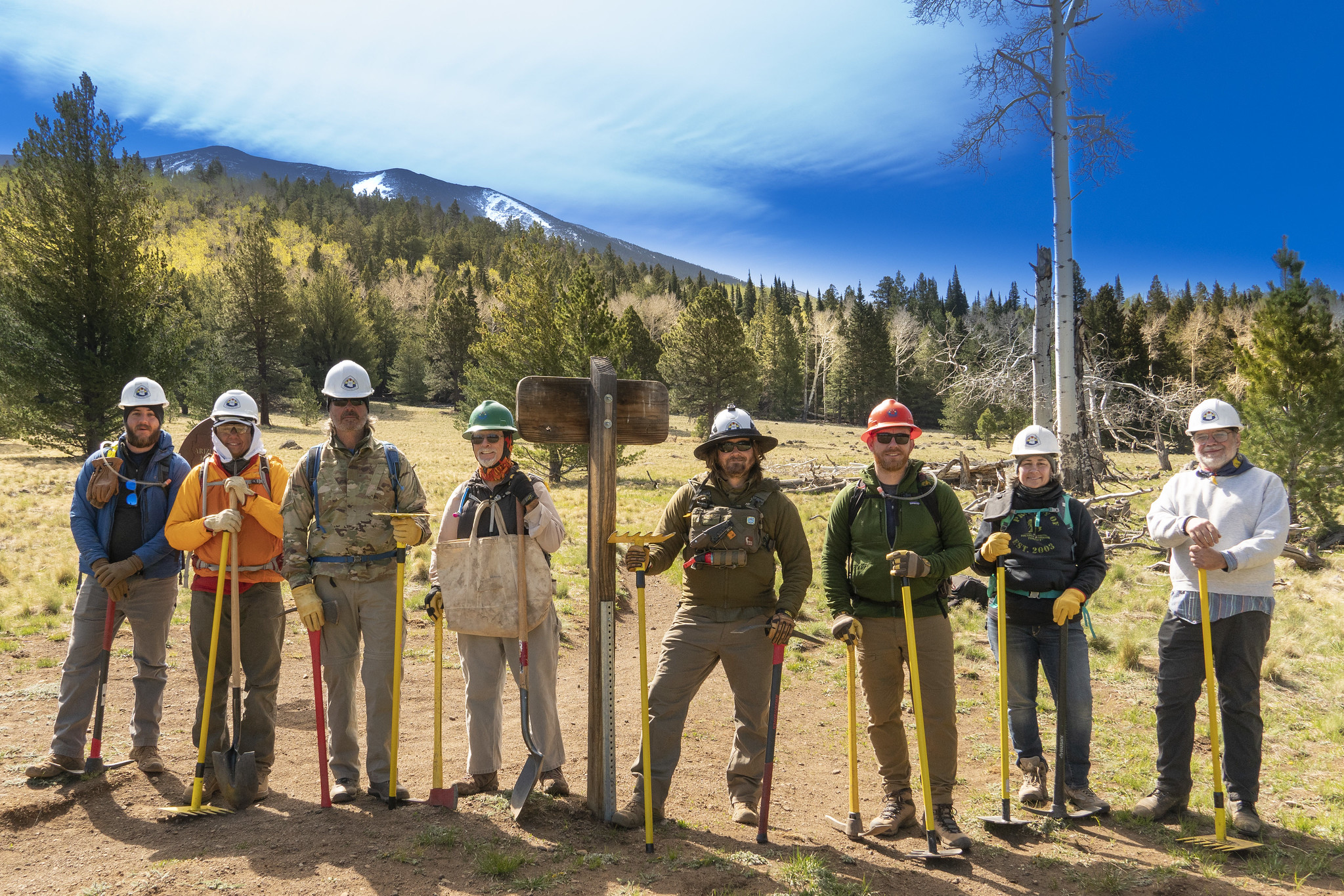
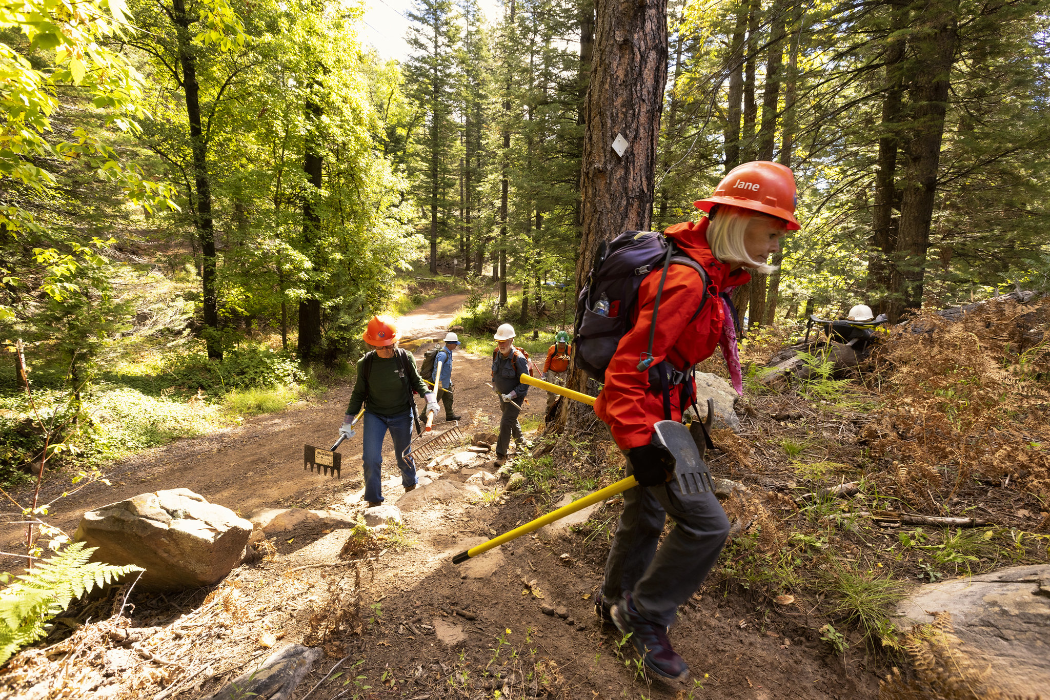
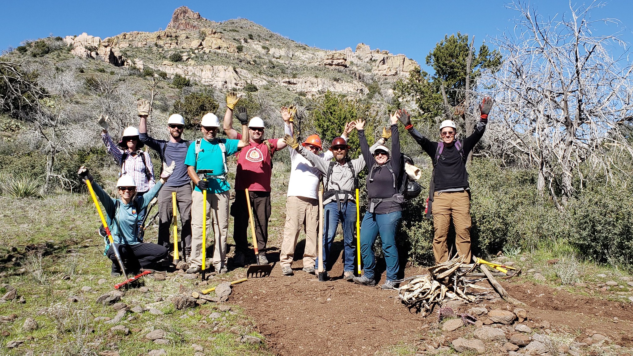
After 18 months of hard work, our partners at the Coronado National Forest have released the first comprehensive trail plan for the Santa Catalina Ranger District, which includes the northern slope of the Rincon Mountains, Mount Lemmon, Summerhaven and Oracle Ridge. According to Adam Milnor, Recreation, Heritage and Lands Staff Officer for the Forest, the plan includes projects to "diversify trail opportunities, improve sustainability, create new trail connections and boost trailhead access" on the district. A number of the proposed projects will impact Passages 9-12 of the Arizona National Scenic Trail, addressing long standing issues with this well-loved portion of the Trail. These aspirations aren't just dreams, either. Thanks to the recent flow of federal funding from sources such as the Great American Outdoors Act, or GAOA, many of these projects may become reality starting as soon as this winter. The ATA joined the Southern Arizona outdoor recreation community and other trail organizations such as the National Forest Foundation, Tucson Off Road Cyclists and Activists, Santa Catalina Volunteer Patrol, Pima County, Friends of the Santa Catalina Trails and others to help Forest Service staff shape the plan - and we will continue to be involved in it's implementation. ATA volunteers...
Read More
Location
- Marshall Gulch Trailhead to American Flag Ranch Trailhead
Length
- 15.5 miles
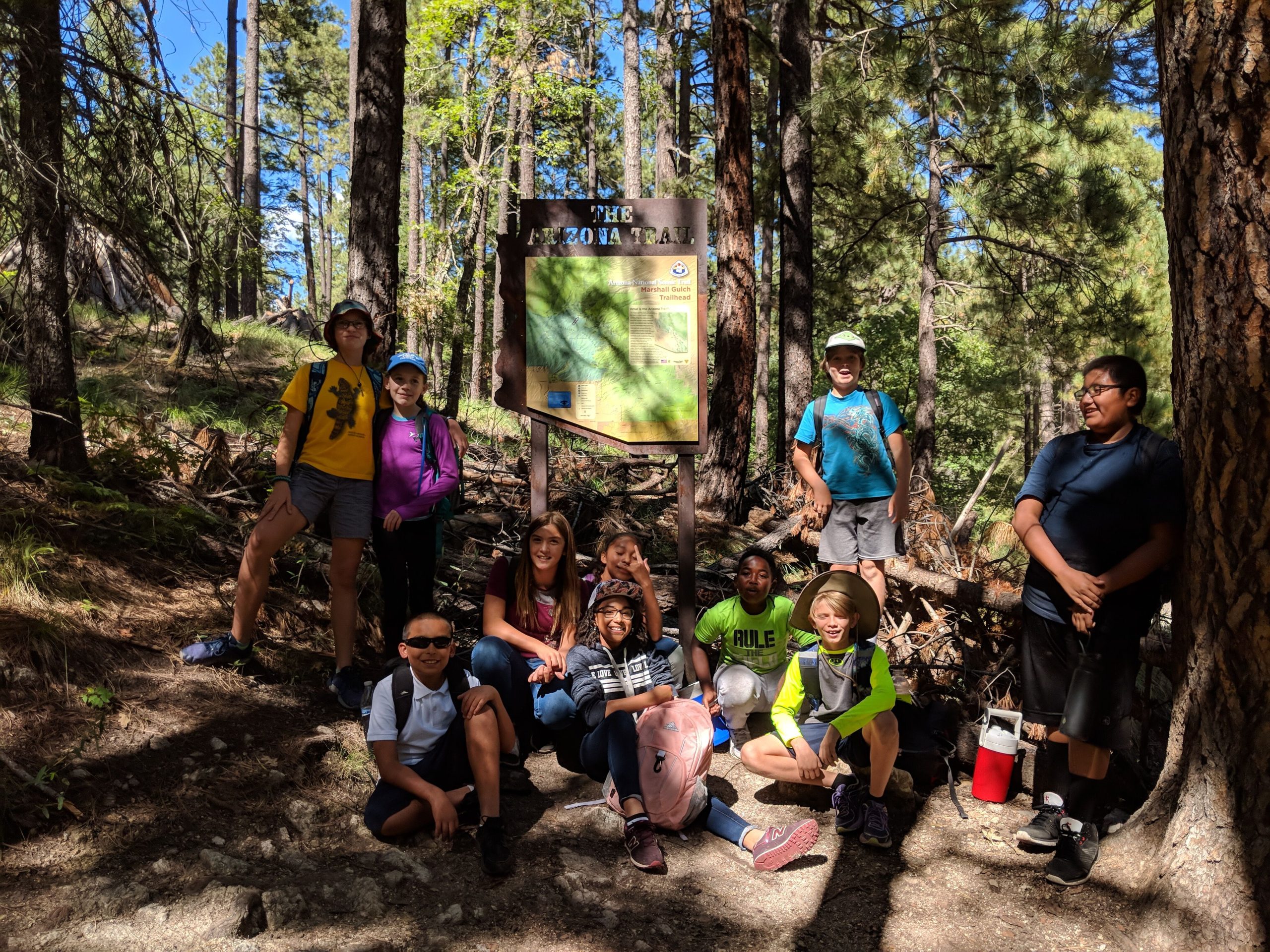
Southern Trailhead: Marshall Gulch Trailhead
- GPS Coordinates: 32.42834° N, 110.75569° W
Access
Take Catalina Highway into the Santa Catalina Mountains. Near the top of the mountain range, bear left to the community of Summerhaven. Continue 1.5 miles south to the end of the road at the Marshall Gulch Trailhead. The trailhead is on the west side of the parking area.
Northern Trailhead: American Flag Ranch Trailhead
- GPS Coordinates: 32.58090° N, 110.72039° W
- NOTE: This trailhead is not visible from Mt. Lemmon Road. There is a sign directing you to the trailhead, which is a dead end.
Access
From Oracle, turn south at the eastern intersection of AZ 77 and East American Avenue, drive 1.5 miles on American Avenue, and then turn right onto Mount Lemmon Road. Continue 4.0 miles to American Flag Ranch Road, and turn right (west) to reach the trailheads on both sides of the road, including parking areas near the historic American Flag Ranch. The trail on the left (east) side of the road is the start of Passage 13; Passage 12 arrives from the west (right).
Trail Route Description

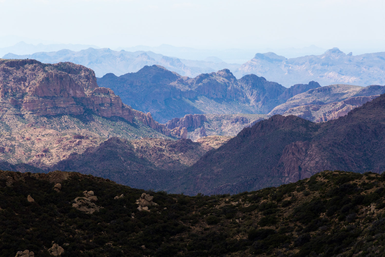
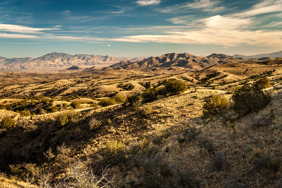
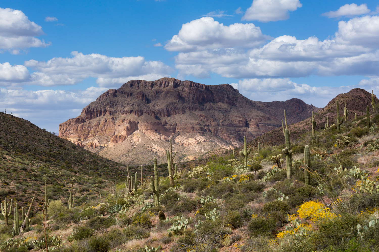
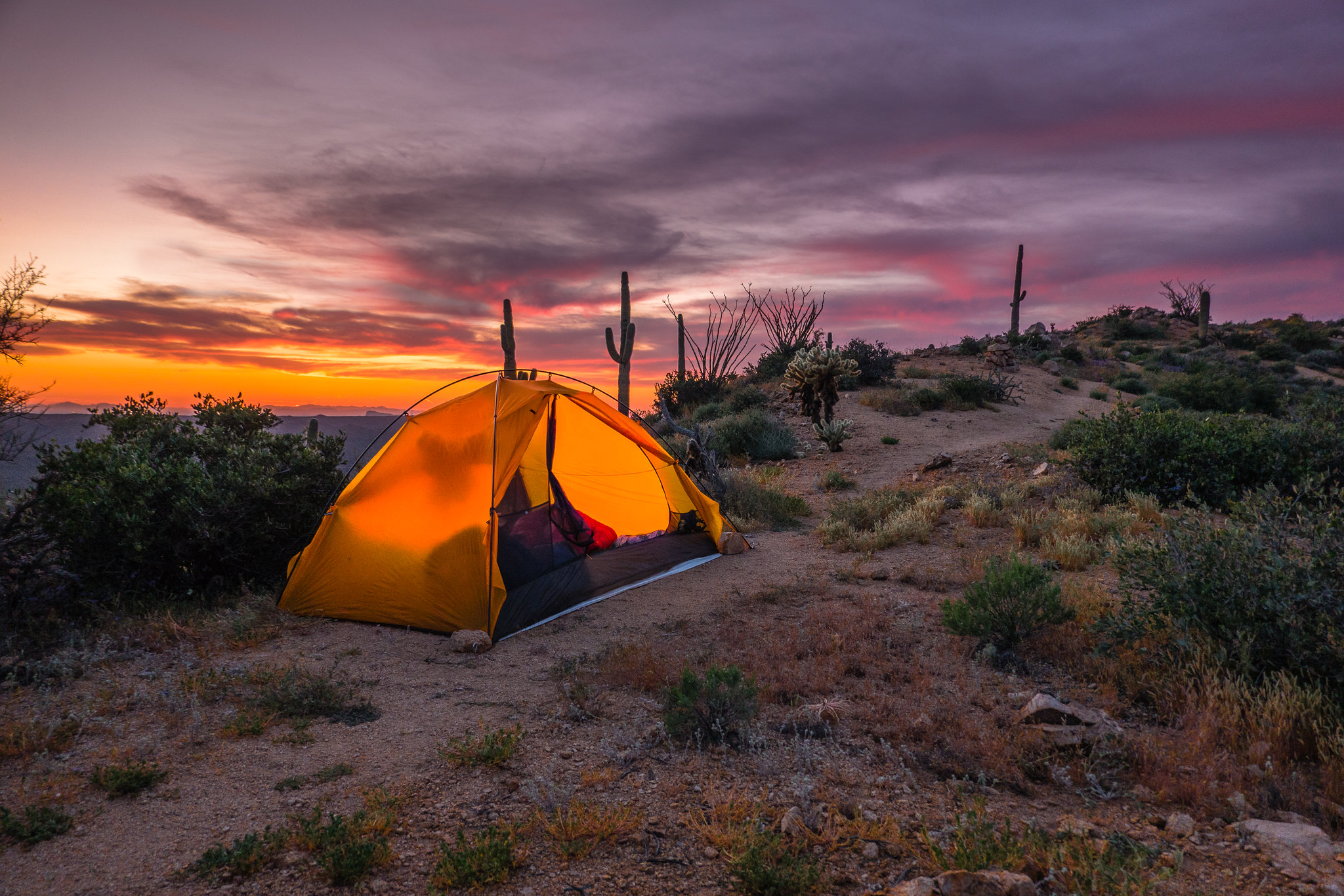
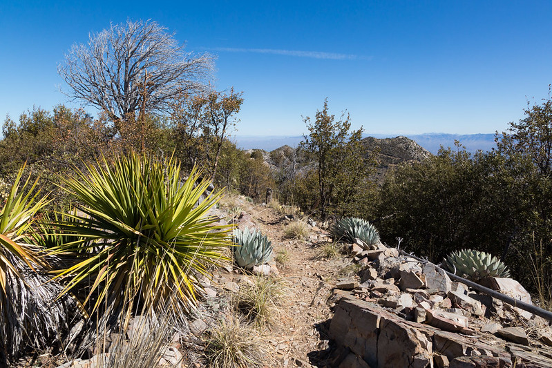
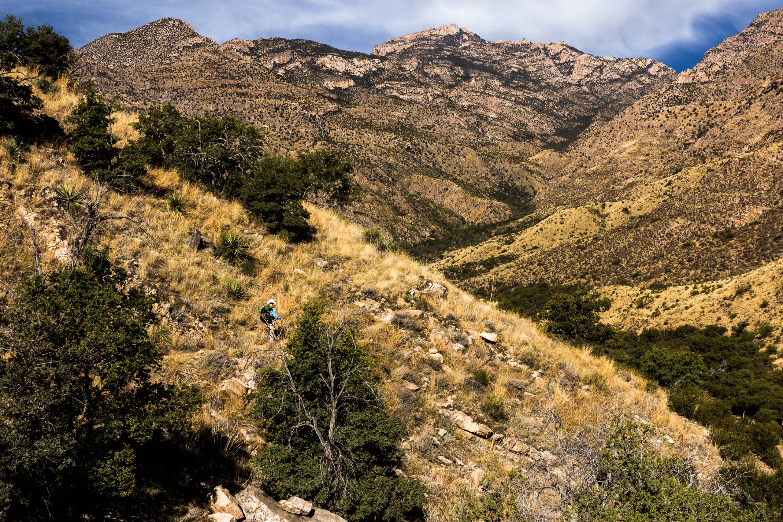
Passage 12 includes a short road walk and resupply opportunity in the mountaintop community of Summerhaven, followed by a long descent down Oracle Ridge to the historic American Flag Ranch.
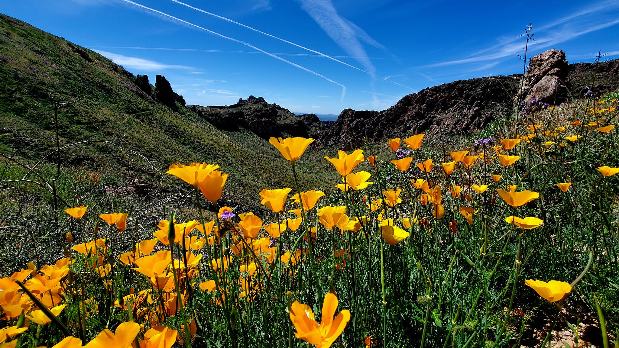
This section begins in Summerhaven, passes by an active mining area, and drops into ranching country. The trail rolls across loose, rocky terrain, and although the trail descends more than 3,000 feet, prepare for a few short, steep climbs along the way. Temperatures increase as the trail lowers in elevation and there is little shade and water on this exposed ridgeline. But, as the trail descends the north side of the Santa Catalinas it features expansive views in all directions, making it just as beautiful as it is challenging.
The AZT passes by two historical sites: High Jinx Ranch, which was once owned by Buffalo Bill Cody and is currently open to visitors, and American Flag Ranch, which is known for being the oldest standing territorial post office building in the state.
Difficulty
- Moderate to Difficult
Season(s)
All year. Snow can be present at higher elevations after winter storms (current weather forecast)
Water
Water is available in Summerhaven and at High Jinks Ranch. Check the online Arizona Trail Water Report for current information at https://aztrail.org/explore/water-sources/.
Notes/Warnings
- All natural sources of water along this passage should be purified prior to use.
- Signing consists of flexible fiberglass signposts with the Arizona Trail decal.
Resources
- Map of Passage 12
- USGS Topographic Maps: Mount Lemmon, Mount Bigelow, Oracle and Campo Bonito.
- Coronado National Forest, Santa Catalina Ranger District.
- BLM Information Center maps.
For more information
- The Passage Steward
- Coronado National Forest, Santa Catalina Ranger District, 5700 N. Sabino Canyon Road, Tucson, AZ 85750 (520) 749-8700.
- BLM Information Center (602) 417-9300.
